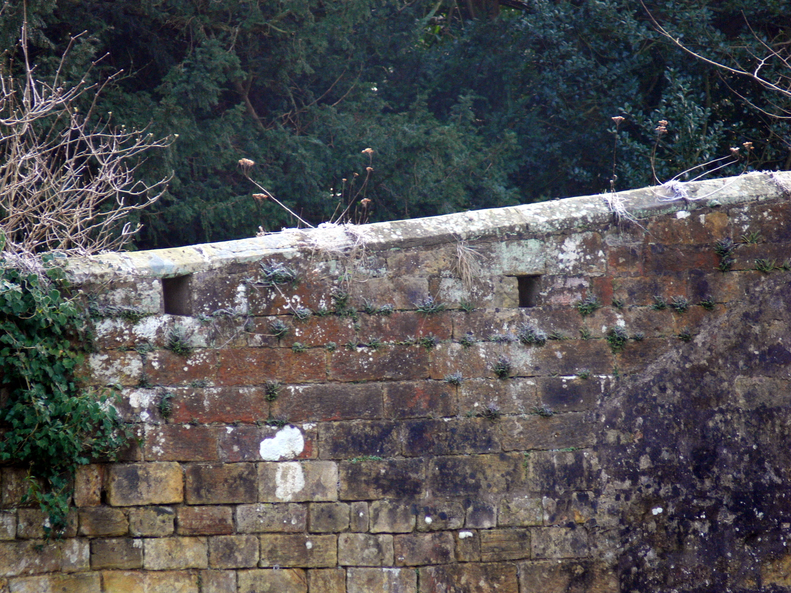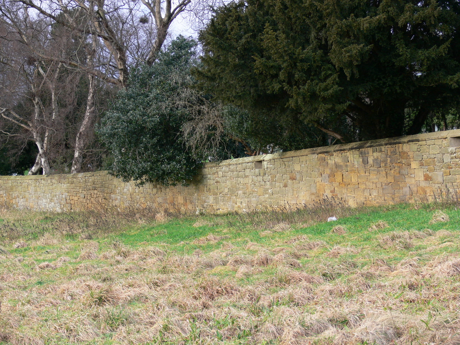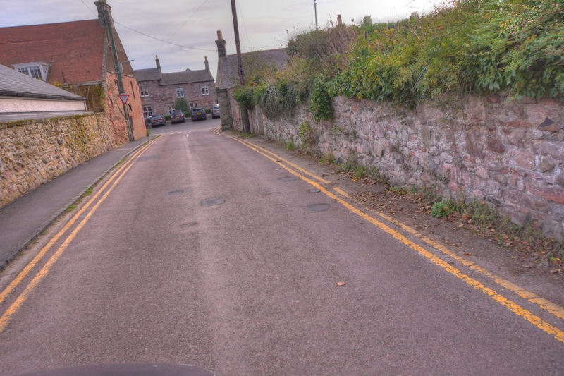
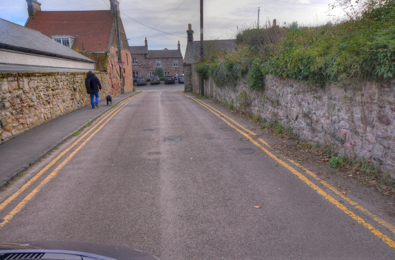
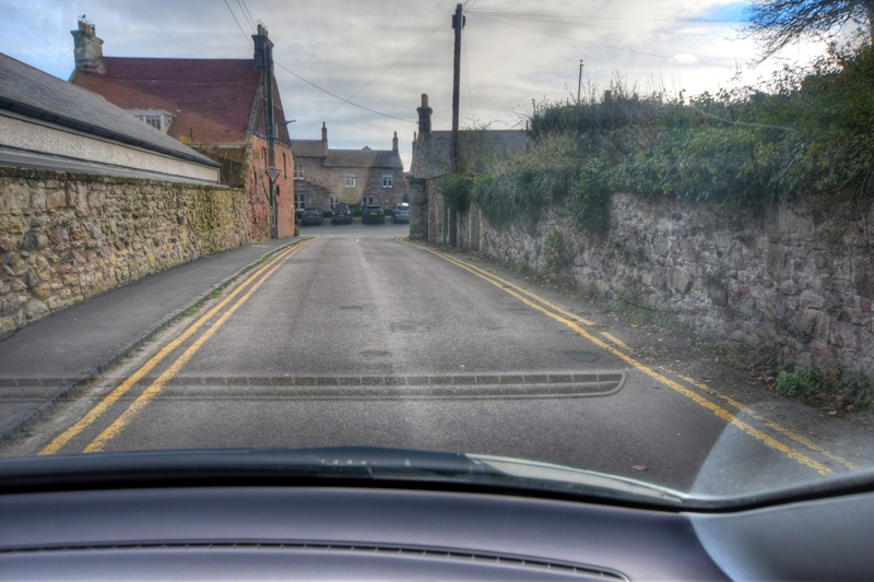
Loopholed wall protecting Northern approach to Alnwick. Pictures taken in 2006.
These views of the Loopholed wall at Alnwick Cemetery are from 2005 and predate the building of the Sainsburys supermarket and other […]
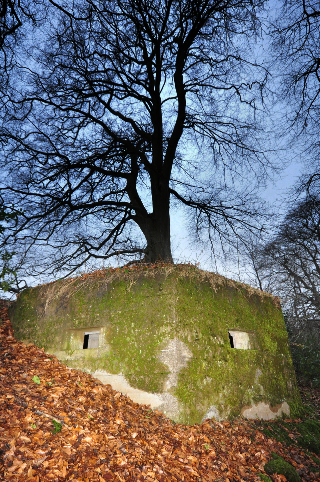
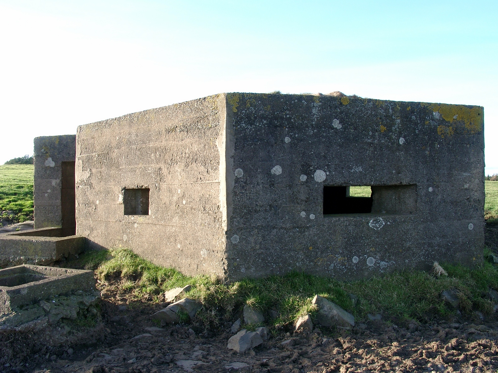
One of three Northumberland D type Pillboxes in Eglingham, Northumberland
Pictures from 2007.