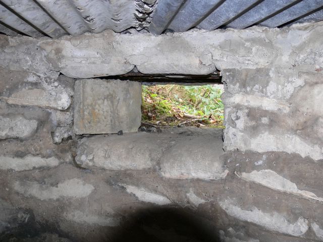
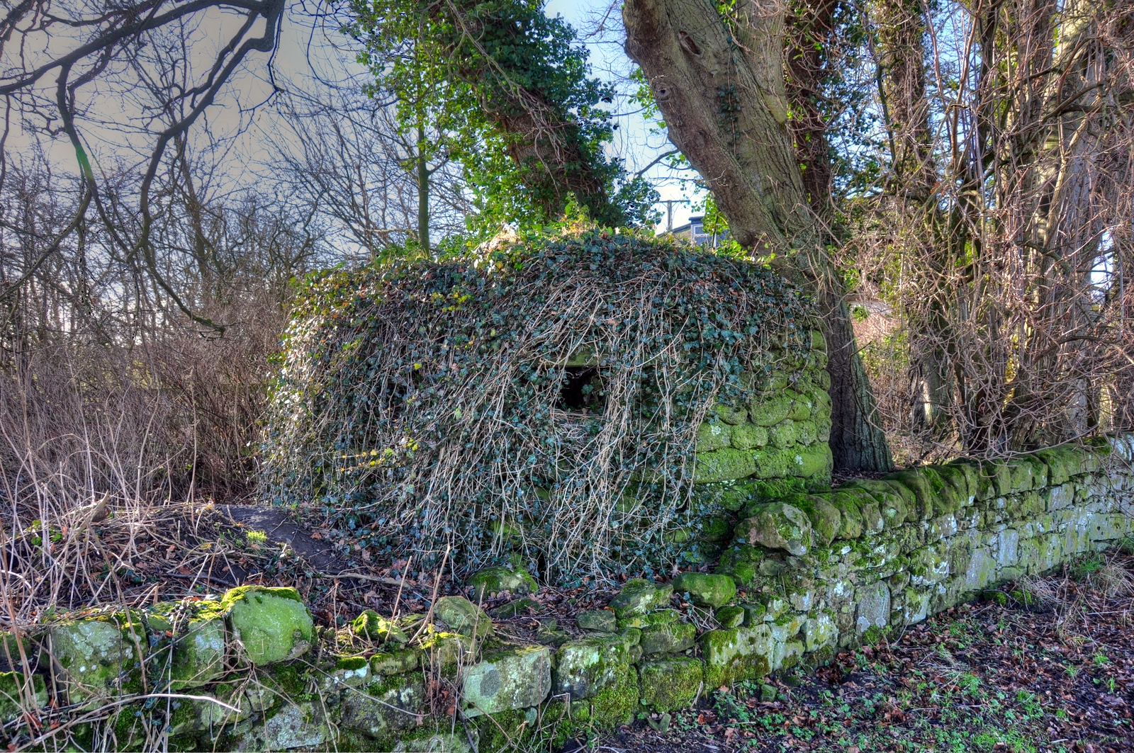
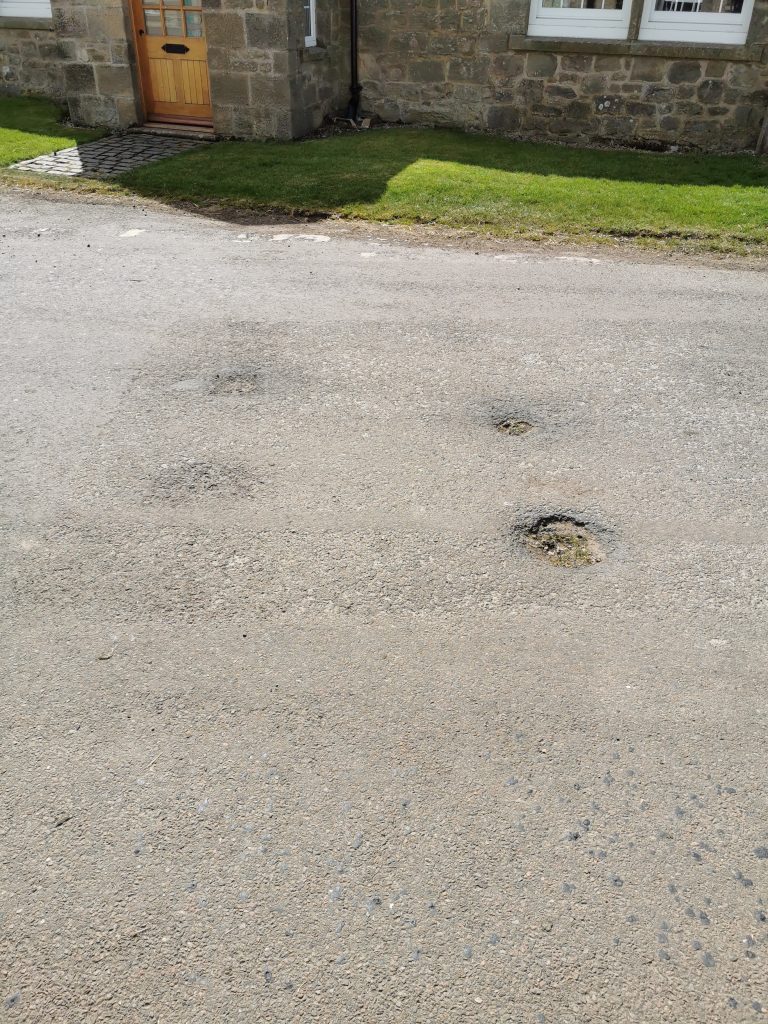
Scant evidence for an anti tank vertical rail roadblock. There is evidence of another round the junction to the right in the first picture, as well as definite signs in a previous post.
You may also like
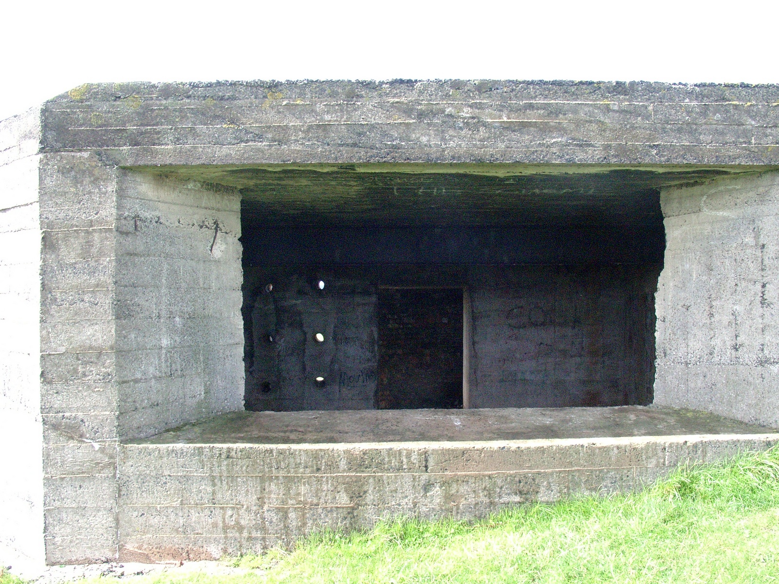
Pictures of the large gun house at Low Cocklawburn beach near Scremerston. These are from 2004 and predate the current trend for […]

A fine lozenge pillbox now in a new housing estate.