You may also like
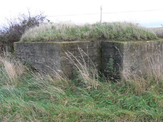
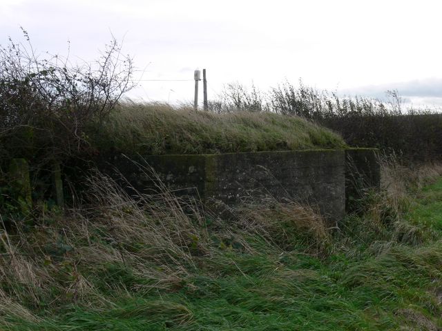
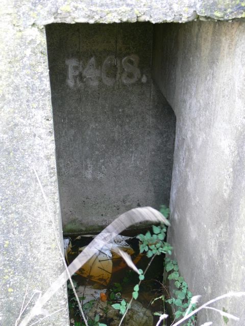
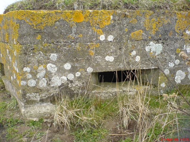
Concrete rectangular pillbox located at back of dunes overlooking road off beach. Now used for service duct, either electric or water board. […]
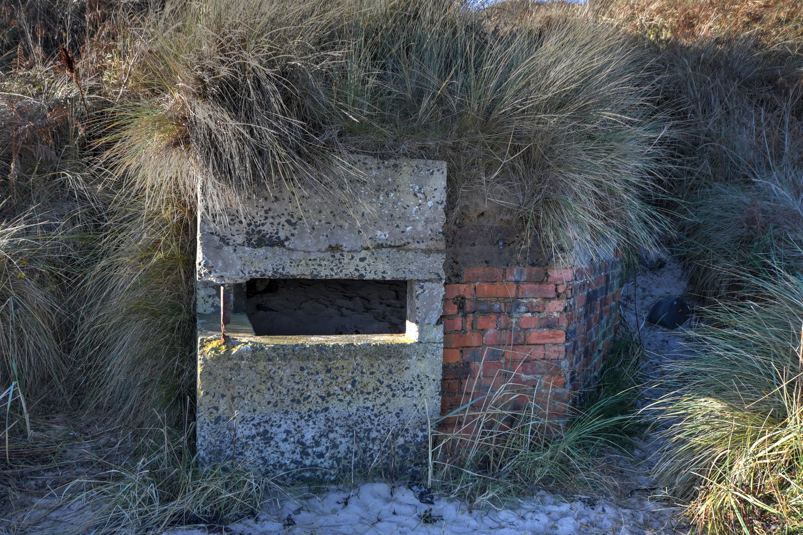
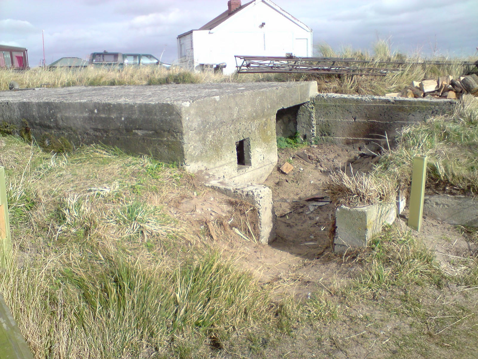
The pictures below were taken shortly after the “Beast from the East” and show how much sand was scoured away by the […]
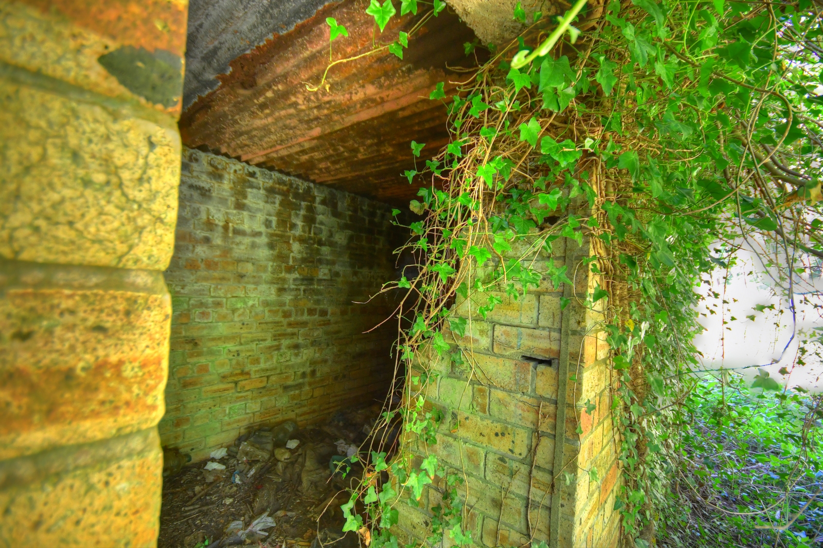
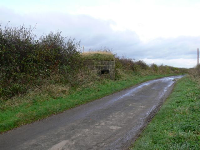
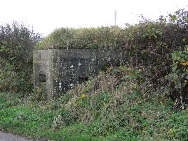
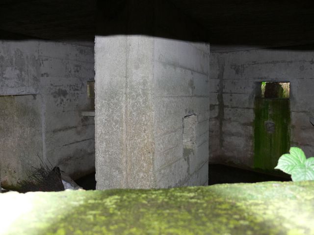
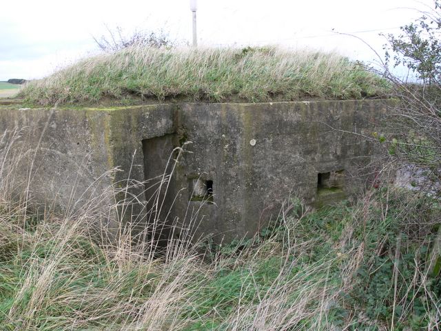
This is located just North of the railway bridge over the road next to the Boatside pub in Warden near Hexham.