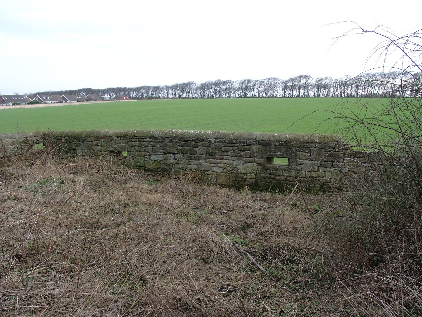
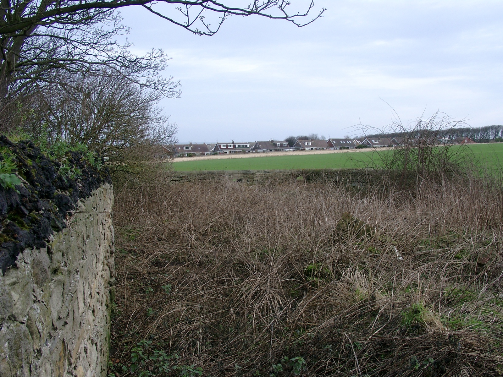
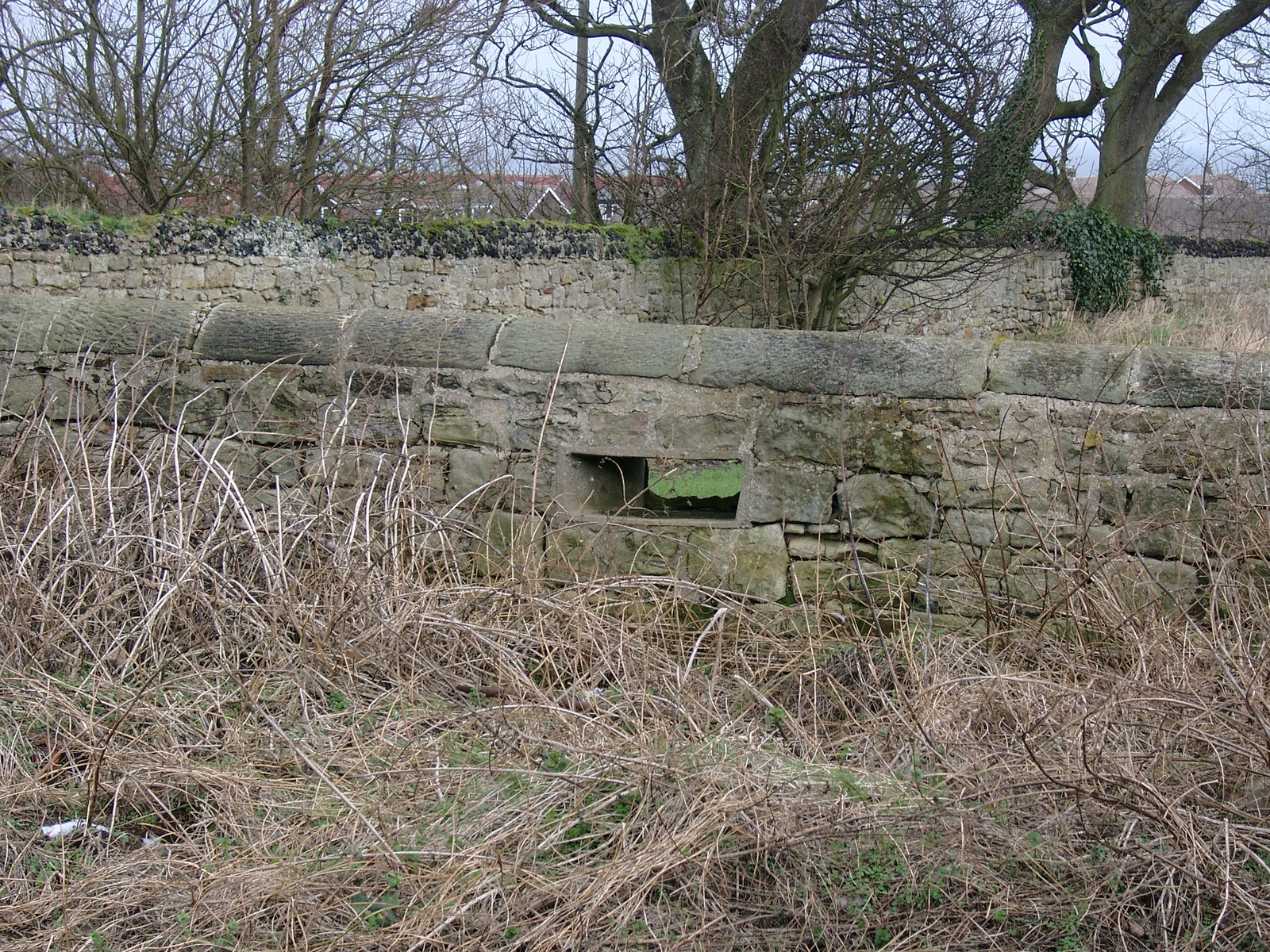
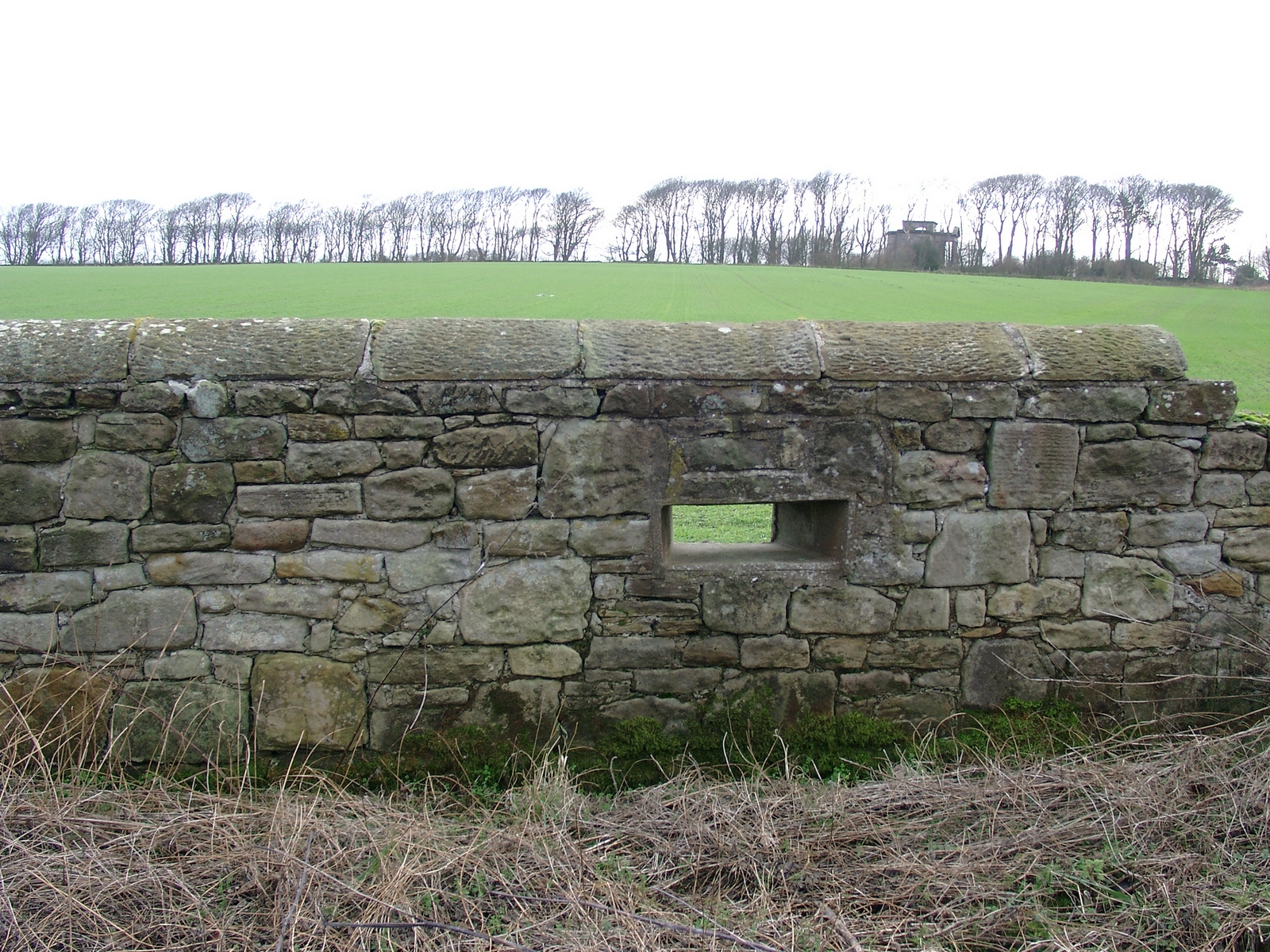
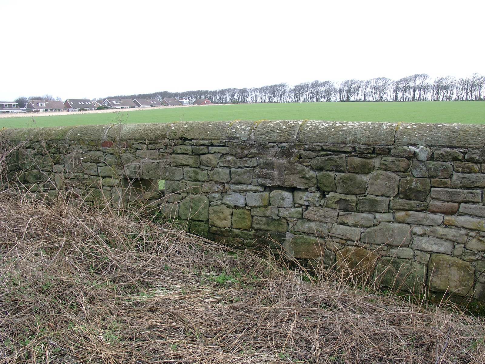
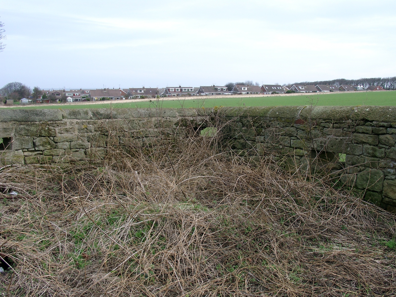
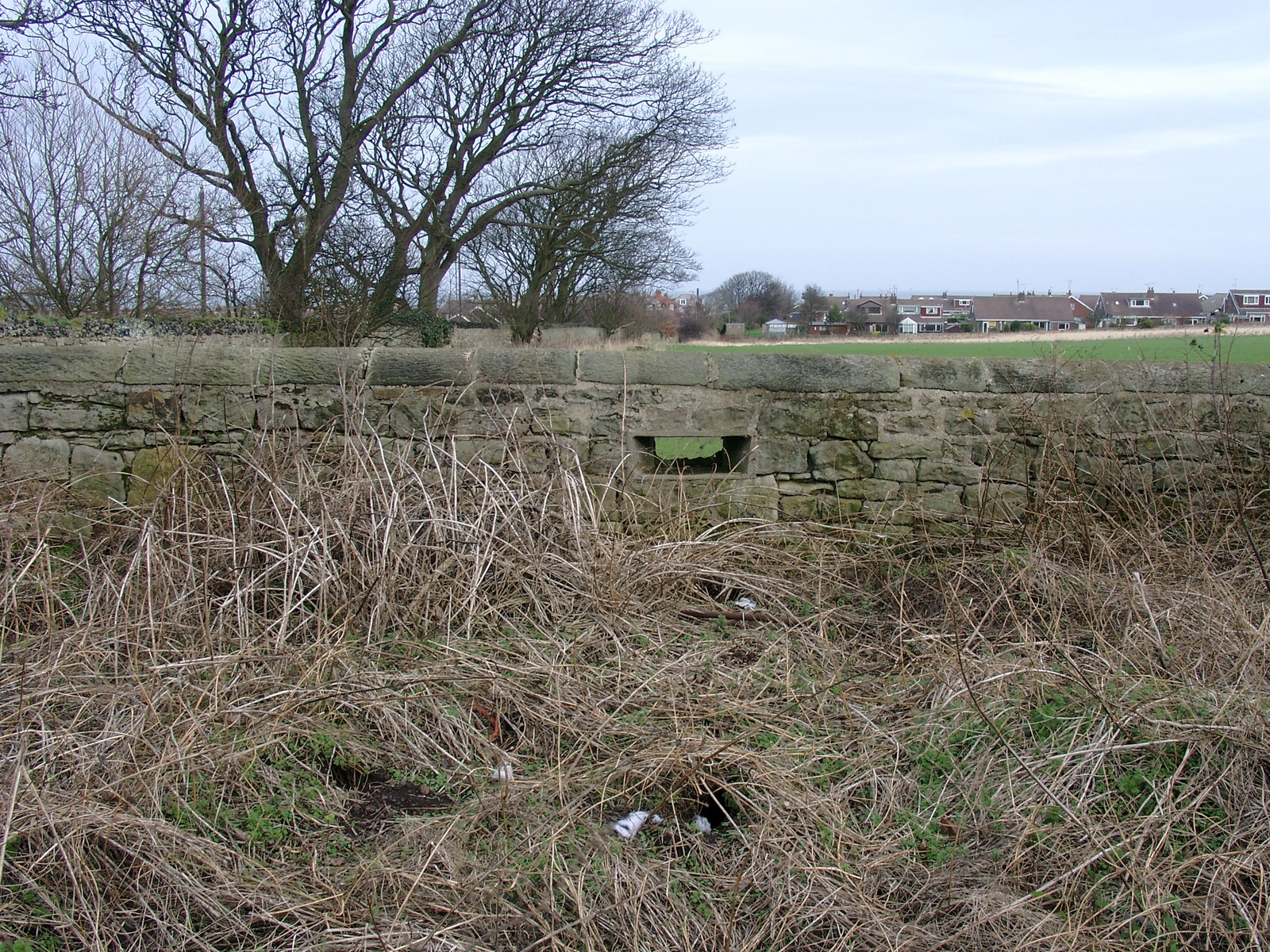
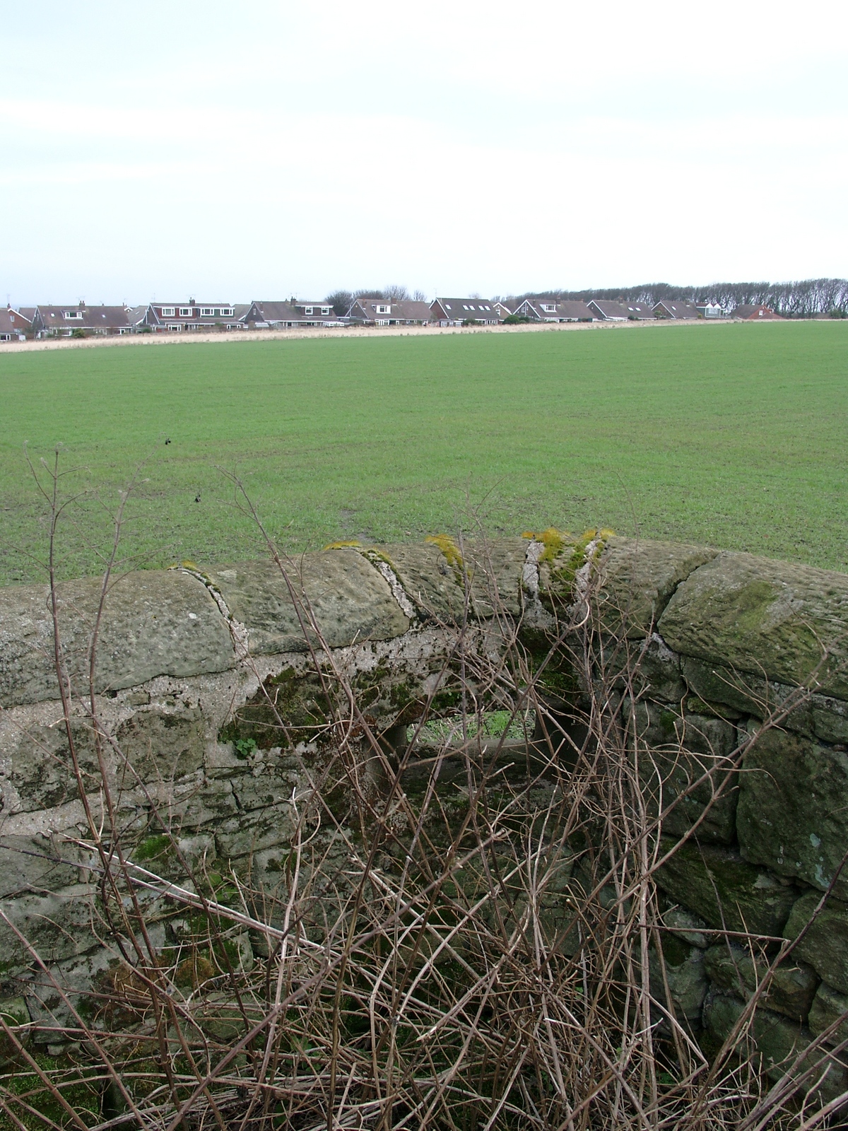
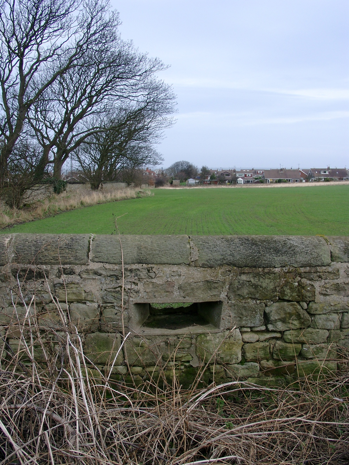
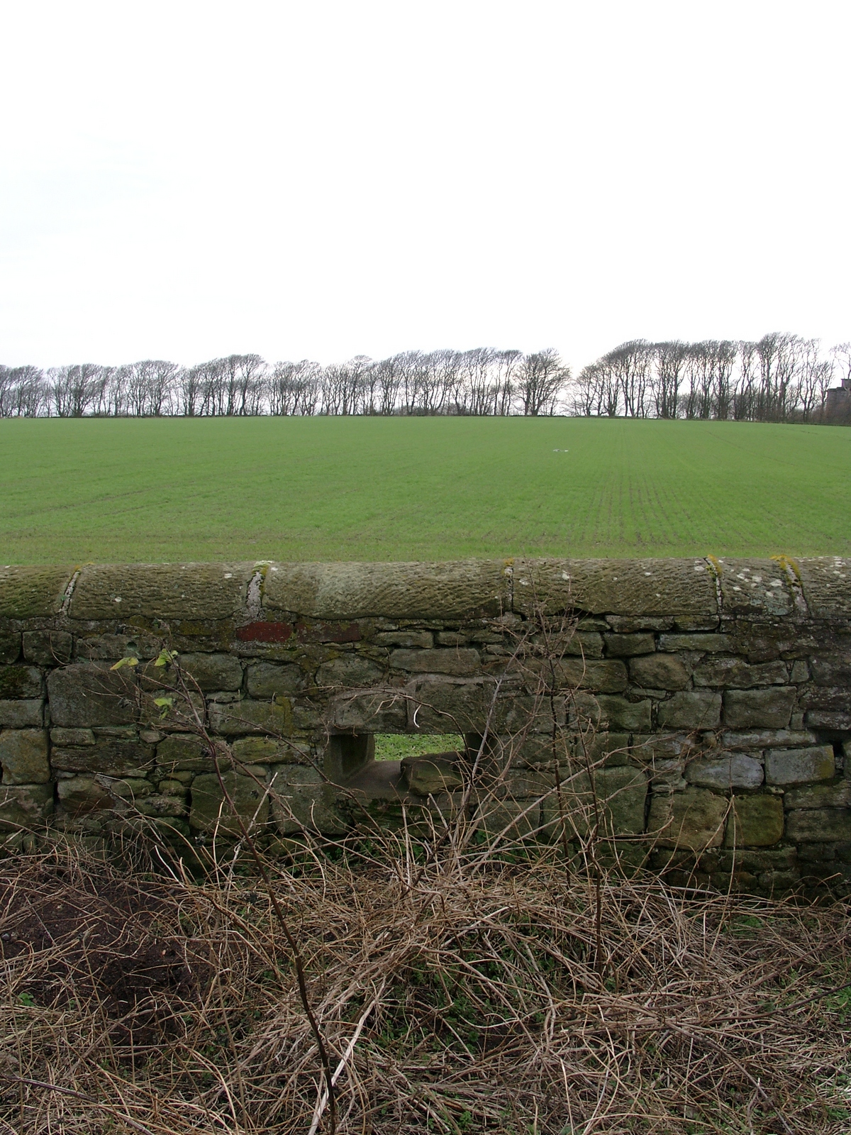
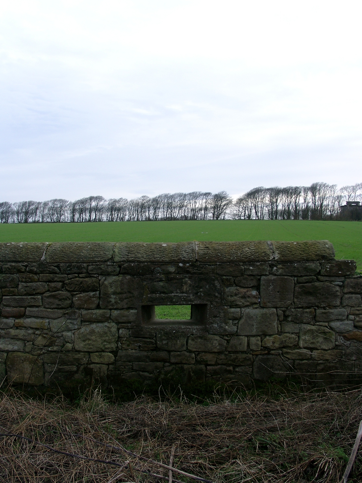
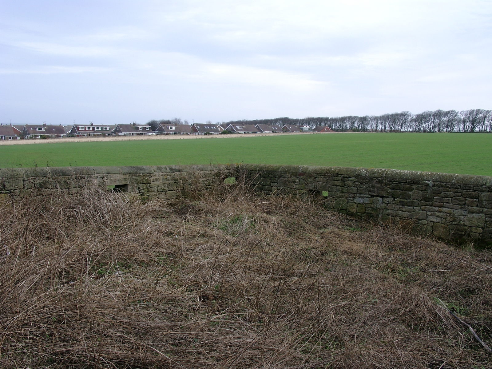
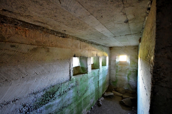
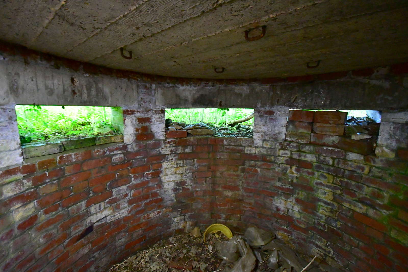
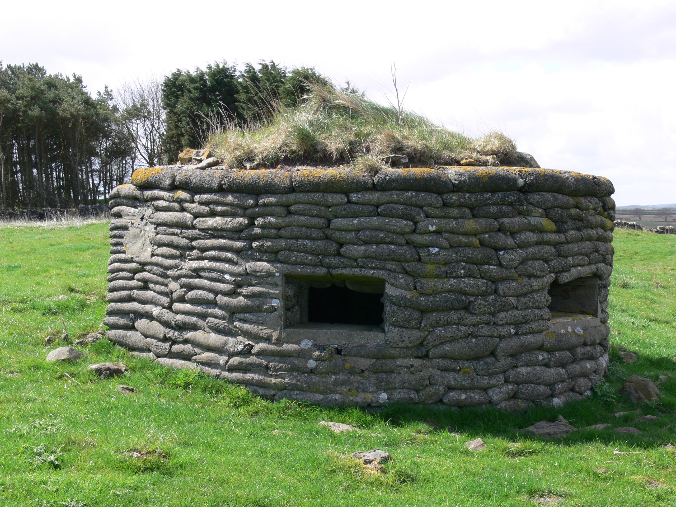
Several Anti- invasion defences were constructed around Seaton Delaval Hall, during WW2, such was the fear of invasion from the North Sea after the fall of Norway. These defensive measures around Seaton Delaval Hall included a low-level defensive stone wall, with rifle loops located east of Deer park. ‘L’ shaped in plan form with one leg north to south in direction and one east to west in direction. It is in a field south of Lookout farm, (now a housing development), and adjacent to the A190. From its elevated position (NZ325768) this dwarf defensive stone wall once gave good defensive cover to the fields east of Seaton Delaval Hall down towards the Links /beach. (now Parkfield Housing Estate) also south to the 18th century Mausoleum and Sea Walk.