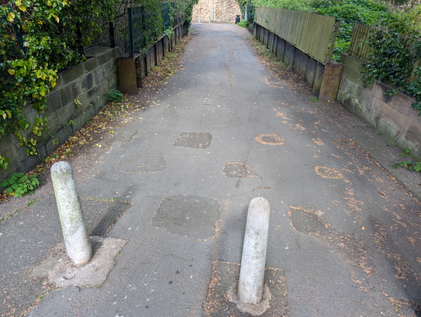
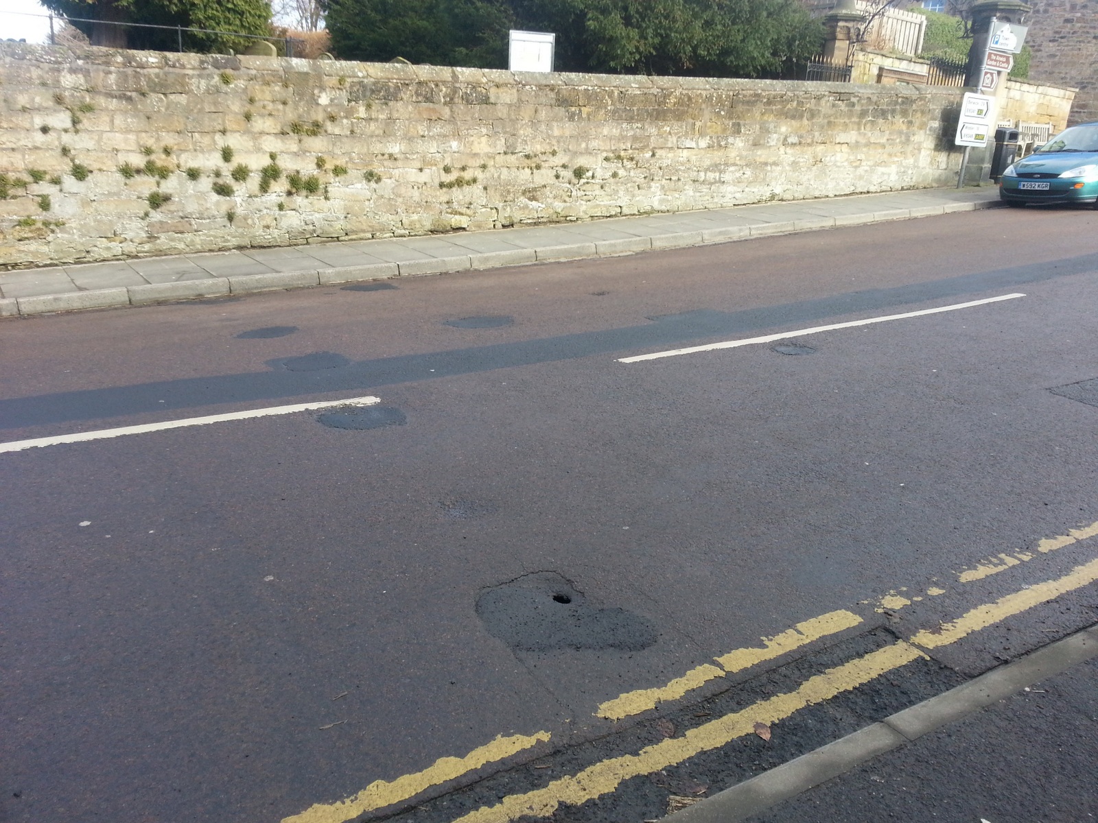
Site of roadblock in Alnwick, Northumberland. Latitude / Longitude: 55.40852564, -1.69695953Easting / Northing: 419286, 612774OS Grid Reference: NU 19286 12774What3Words: ///heaven.parsnips.talents
rail:
6 posts
Site of anti tank vertical rail roadblock. Britain from above shows a D type pillbox to the left of the dip in the wall.
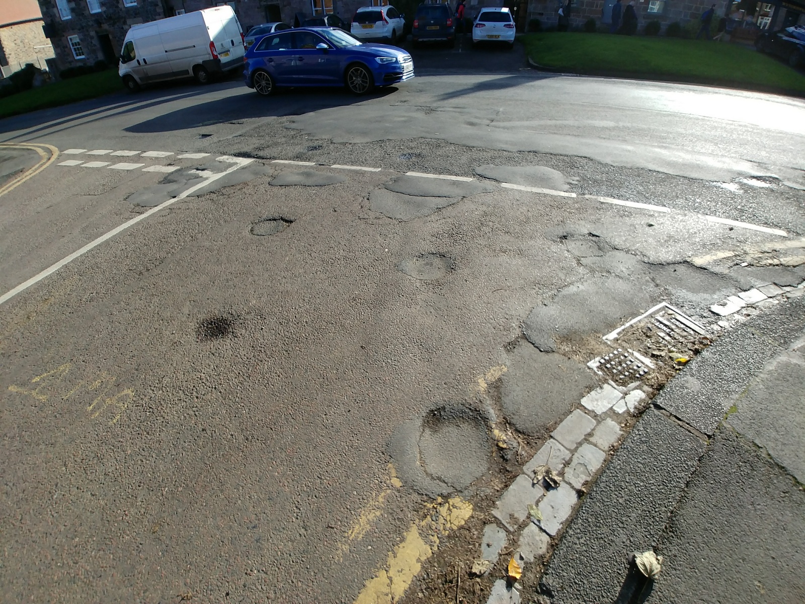
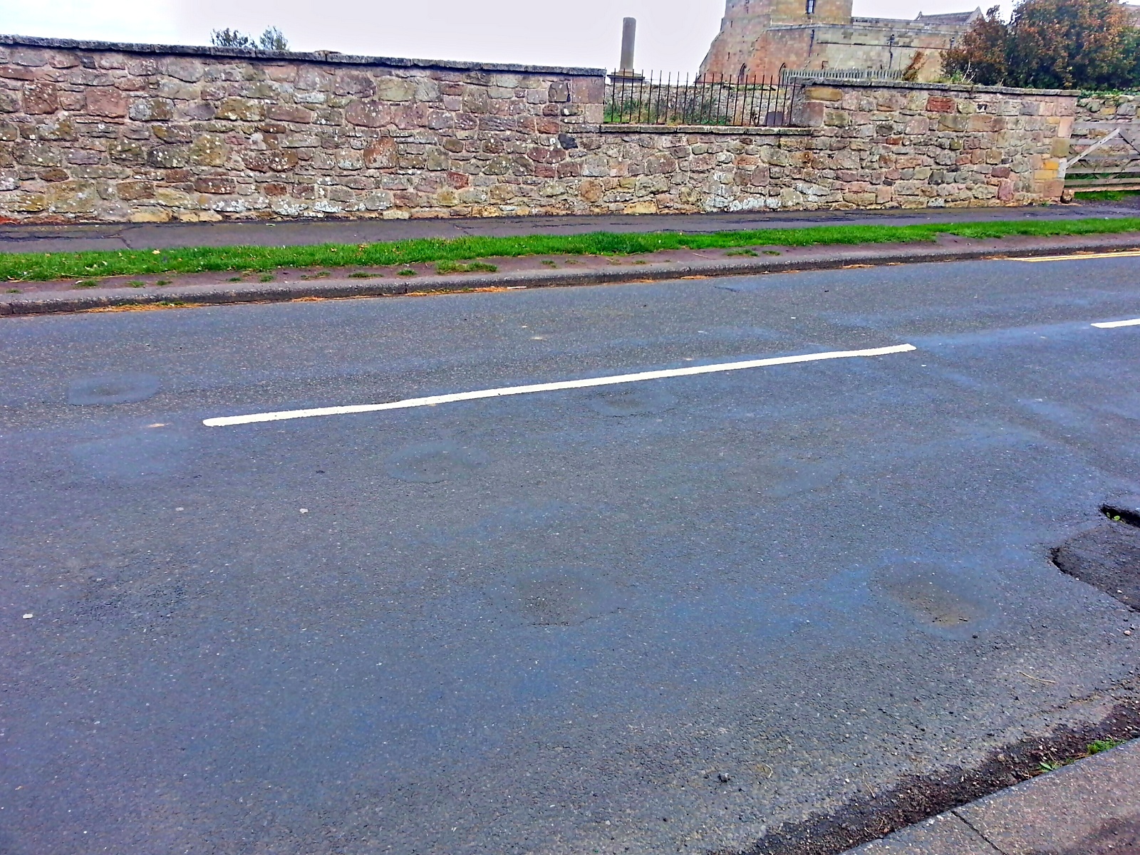
Visible as slight depressions / darker patches in the road surface these are vertical rail sockets for a double roadblock located at the junction of The Wynding and front street at the south end of Bamburgh.